
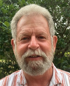
Junior Scientist
Brief info
Ray Powers is a GIS and Mapping Specialist and Junior Scientist with Parks Consulting Services, where he supports planning, environmental, and economic development projects through high‑quality geospatial analysis and cartography. Since joining the firm in 2024, he has contributed to long‑range planning, infrastructure, and conservation efforts by producing clear, data‑driven maps and spatial datasets that help public officials and stakeholders understand complex land use issues.
Ray’s work focuses on integrating GIS with field data, environmental science, and demographic information to support comprehensive plans, corridor studies, and development proposals. He collaborates closely with planners, engineers, and scientists at Parks Consulting Services to design map products and dashboards that inform decisions about growth, transportation, and resource protection in Lake County and across Central Florida.
Active in the community, Ray engages with local initiatives related to environmental stewardship, youth programs, and civic participation in Lake County, Florida. His commitment to public service complements his technical skills, helping clients and communities better visualize future scenarios and make more informed, transparent planning decisions.
Ray is currently advancing his education in geospatial technologies and environmental studies, building a strong foundation in GIS, remote sensing, and spatial data management to support his role as a junior scientist. His combination of technical mapping abilities, on‑the‑ground local knowledge, and passion for public engagement makes him a valuable contributor to Parks Consulting Services projects throughout the region.